Sport climbing at Big Meadow on the Kern Plateau
|
THE STATS
- Sport Climbing
- Single Pitch
- 5.7 to 5.11
- Season: Spring, Summer, Fall
- Aspect: Main side faces south
- Elevation: 7900 ft
- Land: Sequoia National Forest
- Where: Big Meadow, Kern Plateau
- Access: Cherry Hill Road
- Approach: easy, 5-10 minutes
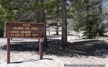
- Trail: Salmon Creek Trail, 33E36
- Nearest Town: Kernville, Kennedy Meadows
- Map: Kern River Sierra Outdoor Rec Map
 |
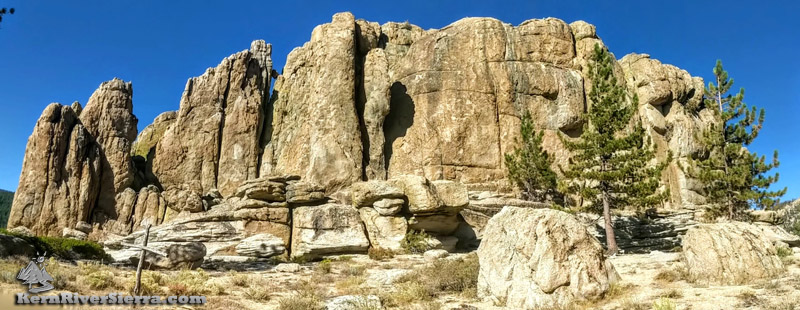
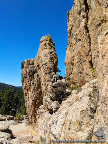
Climbing Boy Scout Rocks
Situated on top of a scenic knoll to the west of Big Meadow, climbers can enjoy convenient and moderate sport climbing. Most of the steeper climbs face south, so plan accordingly. The backside is shady with a couple climbs, and there are many bouldering possibilities in the area.
Unfortunately, most of the hangars do not have quick links or rap anchors.
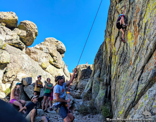
A great place to hang out! On the shady north-facing side.
|
The Trail
From Big Meadow West parking/camping area, take Salmon Creek Trail a short ways (less than .15 miles) to a saddle. At the high point, head right (north) through the trees and up to the crag.
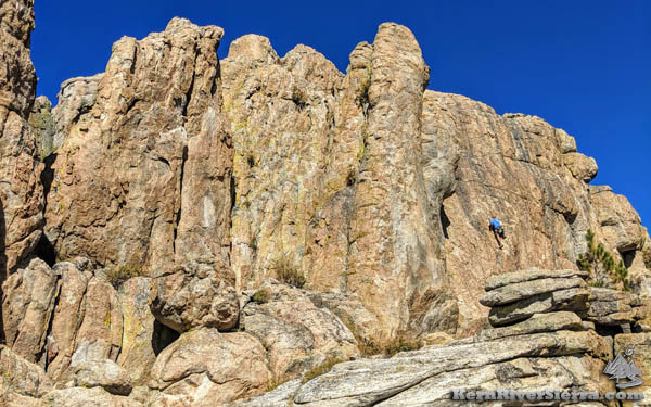
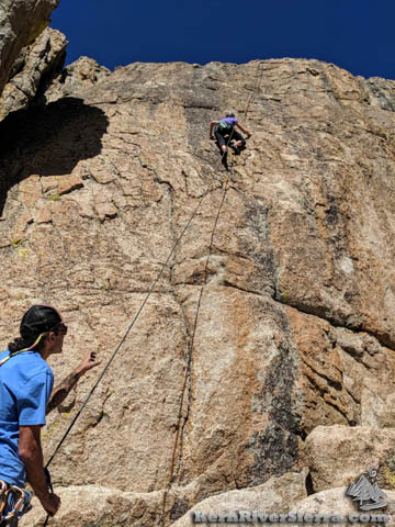
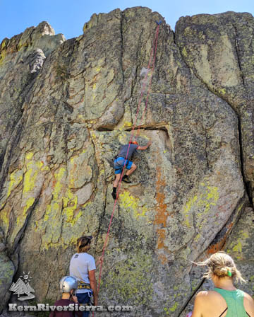
South facing side has the most climbs. A few routes near the climber are in the 5.8 range.
|
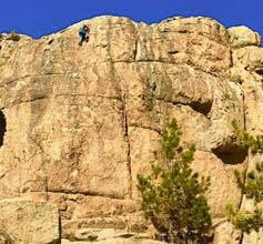
Some harder steeper climbs, up to 5.11.
|
|
North side. 5.7ish with some harder variations.
|
Directions
From Kernville, drive north on Mtn 99 for about 19 miles, and turn right onto Sherman Pass Road. In 6 miles, turn right on Cherry Hill Road, 22S12, and continue for about 12 miles to Big Meadow. There is a dirt parking area on the left (Big Meadow West), and the signed Salmon Creek Trail is on the right.
From Kennedy Meadows, drive Sherman Pass Road up and over Sherman Pass. Appromately 10 miles past the overlook, turn left on Cherry Hill Road, 22S12, and follow the directions above.
Take Salmon Creek Trail a short ways, then head right and up to the crag. |
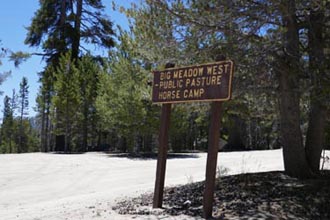
The trail is across from Big Meadow West parking and camping area. |
Nearby Climbing
| Lower Elevation
|
Upper Elevation
|
Nearby Activities
|